
October 16, 2026 · Geosapiens
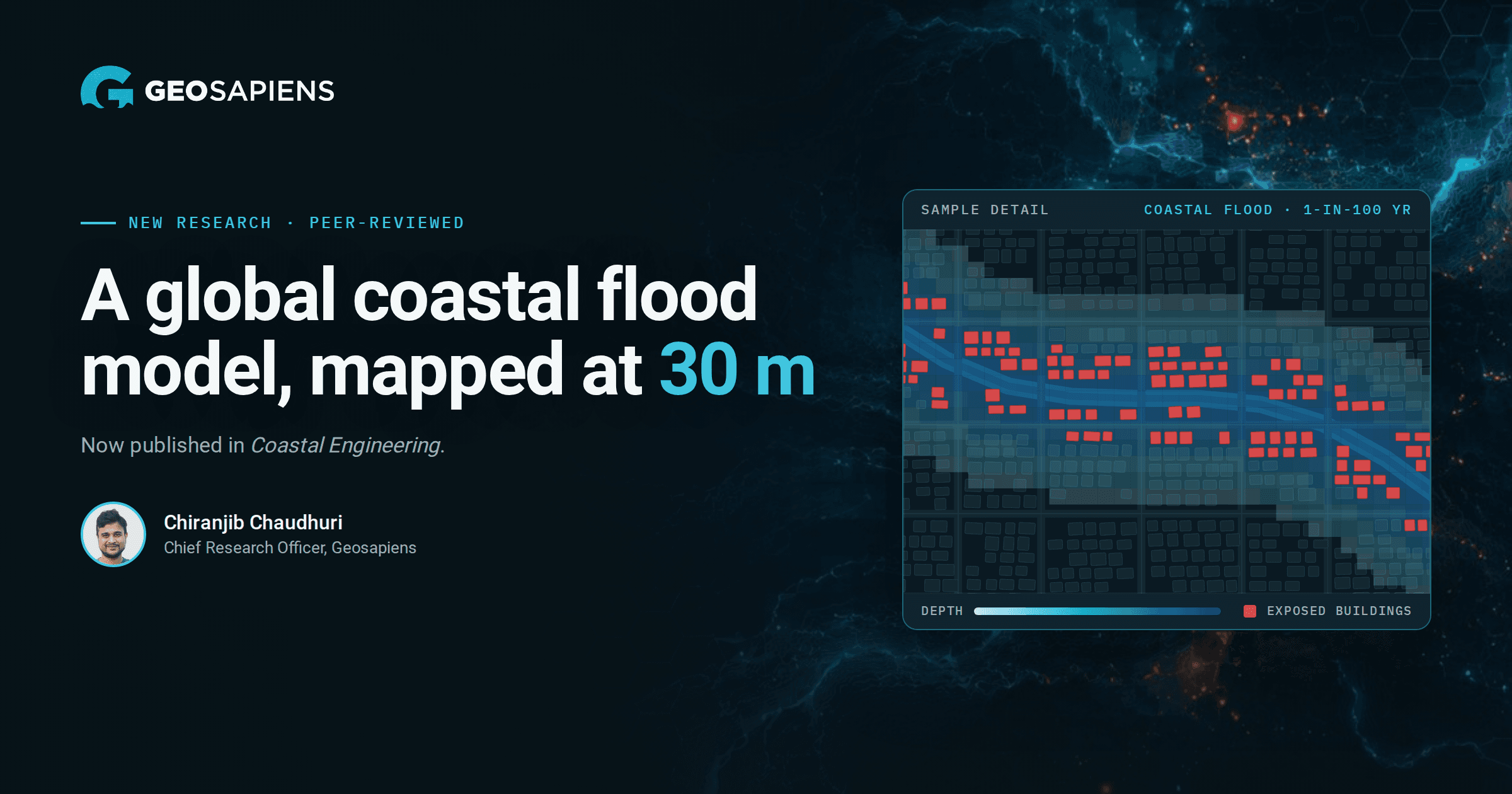
We’re proud to share that new research led by Chiranjib Chaudhuri, Chief Research Officer at Geosapiens, has been accepted and published in Coastal Engineering, one of the leading peer-reviewed journals in the field.
The paper, “A global coastal flood depth model using friction-attenuated water surface elevation propagation on high-resolution terrain,” presents a model that maps flood hazard at 30 m resolution across 18 return periods. It brings the kind of detail usually reserved for local studies to a truly global scale, while keeping the computation manageable.
The model starts at the coastline and pushes water inland, cell by cell. Its coastal forcing combines meteorological skew-surge return periods with the highest astronomical tide (HAT) from FES2022b.
As water spreads, the water-surface elevation drops through friction losses that depend on the terrain and land cover it crosses. The team pairs Manning friction attenuation with a Dijkstra shortest-path algorithm to trace how flooding propagates across 7,416 terrain tiles worldwide.
The approach is built for scale. Five full global iterations run in 4.6 hours on 70 parallel processes, which makes detailed, multi-scenario flood mapping practical for the whole planet.
Strong agreement with official maps. Tested against nine government flood maps, the model reached a mean Critical Success Index of 0.60 (median 0.56). The analysis also shows where it errs: it tends to over-predict in shallow estuaries and under-predict across broad, low-relief marshes.
Exposure is highly concentrated. A global exposure-screening experiment identified about 7.75 million building footprints intersecting the modelled 100-year flood envelopes. Just six large coastal basins accounted for around 76% of that total.
Rankings shift as events get rarer. Exposure does not grow at the same pace everywhere. A region that looks less exposed under frequent events can become more exposed under rarer ones, so regional rankings change with the return period.
“For me, this reinforces why we need to look beyond a single ‘100-year flood’ map when assessing coastal flood risk.” — Chiranjib Chaudhuri
This work is designed to support flood risk assessment, catastrophe modelling and climate adaptation. With consistent hazard maps across 18 return periods, insurers, lenders, governments and planners can identify exposure hotspots, screen portfolios and decide where detailed local studies are most needed.
The results are regional screening estimates, not predictions of damage to individual buildings. Their value lies in showing where to look first, and how that picture changes as events become more extreme.
Congratulations to Chiranjib and his co-authors, Duy Anh Alexandre and Jasmin Gill-Fortin, on this publication. Chiranjib credits their contributions, thoughtful discussions and collaboration throughout the project.
Read the full paper in Coastal Engineering
Interested in how global coastal flood maps could support your risk assessment or portfolio screening? Get in touch with the Geosapiens team.