
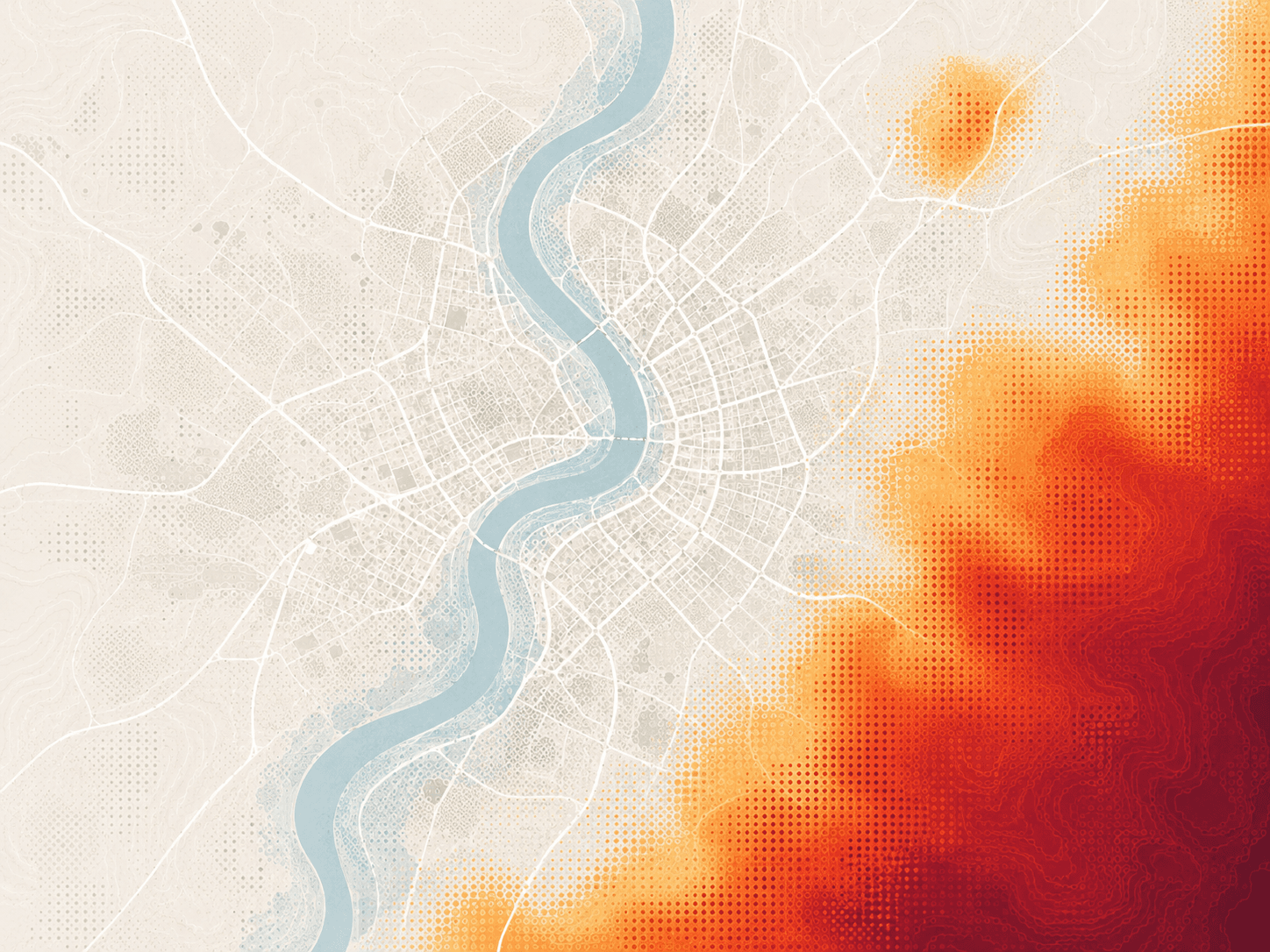

Make wildfire risk easier to underwrite, price, and manage. Bring a clearer, more consistent view of wildfire susceptibility into property and portfolio decisions. Use a consistent hazard score to compare locations, add more physical-risk context to pricing, and see where wildfire exposure is concentrating across your book.
Wildfire drivers
No single factor tells the whole wildfire story. Geosapiens brings together the conditions that influence ignition and spread so you can see susceptibility differences across locations.
Climate
Vegetation & fuel
Terrain & geography
Human factors
Use a standardized 1–10 hazard score to compare wildfire susceptibility consistently across locations, and see where higher wildfire risks are accumulating across the portfolio.
Insurance decisions
Use wildfire susceptibility at the property and portfolio level to inform risk selection, pricing, and concentration management.
Underwriting
Pricing & actuarial
Portfolio risk
The science behind the models
Wildfire exposure can change what you write, how you price, and where you take on risk. The model informing those decisions needs to earn your teams’ confidence.
Access & delivery methods
Some teams need a map-based view. Some need data. Some need scores inside quoting, renewal, or underwriting workflows. Use the same risk intelligence in the way your teams already work.
Use the portal to explore properties, compare risk layers, and create a shared view of exposure for underwriting, risk, and leadership conversations.
Bring Geosapiens' standardized scores into third-party platforms or internal tools, so the risk signal appears right where the decision is made.
Give actuarial, catastrophe modelling, BI, and portfolio teams data outputs they can test, compare, and use inside your internal models, dashboards, and risk workflows.
Bring a property, a set of locations, or a portfolio sample. We’ll walk through the wildfire results and show how they can support the decisions your team needs to make.