
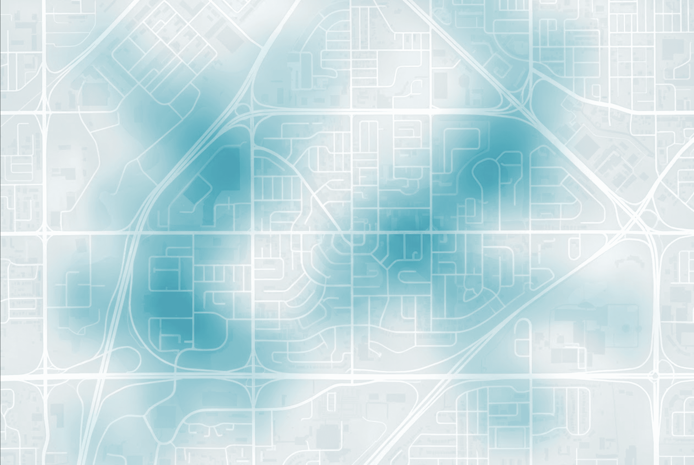

Know where hail exposure should change insurance decisions. Model hail risk across North America using nearly two decades of historical observed events and the atmospheric conditions associated with hail. See the risk intelligence that historical records can never reveal alone.
Model approach
Hail is sudden and highly localized, so reported events alone can leave gaps. Geosapiens also models the atmospheric conditions associated with hail to reveal more of where exposure actually exists.
Hail climatology
Property & portfolio intelligence
Explainable AI
By combining modelled hail frequency and hail size into a standardized 1–10 score, Geosapiens helps underwriters and portfolio managers quickly identify higher-risk locations and concentrations of exposure.
Insurance decisions
A localized hail event can damage many insured assets at once. Use a science-backed risk view to evaluate individual locations and see where exposure is concentrated.
Underwriting
Pricing & actuarial
Portfolio risk
The science behind the models
Hail can create concentrated losses in minutes. If the score is going to shape insurance decisions, your teams need confidence in the science behind it.
Review hail exposure visually in the Portal, return scores directly inside underwriting systems through the API, or bring the model data into your own GIS, catastrophe modelling, and analytics environment.
Access & delivery methods
Some teams need a map-based view. Some need data. Some need scores inside quoting, renewal, or underwriting workflows. Use the same risk intelligence in the way your teams already work.
Use the portal to explore properties, compare risk layers, and create a shared view of exposure for underwriting, risk, and leadership conversations.
Bring Geosapiens' standardized scores into third-party platforms or internal tools, so the risk signal appears right where the decision is made.
Give actuarial, catastrophe modelling, BI, and portfolio teams data outputs they can test, compare, and use inside your internal models, dashboards, and risk workflows.
Bring a property or portfolio sample. See which locations carry higher hail exposure and where that risk is concentrated across your book.